Wondering where to start with terrain analysis in GIS? Begin with a digital elevation model, then derive slope, aspect, hillshade and viewsheds from it. Each answers a different question about the land.
This guide is part of the wider topic of geospatial terrain visualization.
| Item | Value |
|---|---|
| Input data | A raster elevation surface (digital elevation model) |
| Slope | Gradient or steepness from each cell of a raster |
| Aspect | Steepest downslope direction |
| Hillshade | Shaded relief based on illumination source angle and shadows |
| Viewshed | Raster surface locations visible to a set of observer features |
| Licensing in ArcGIS Pro | Spatial Analyst license and 3D Analyst license |
These descriptions come from the ArcGIS Pro Surface toolset overview and the surface geoprocessing functions page. Software documentation and licensing can change, so check the source before you rely on them.
What terrain analysis in GIS starts from
Every product in this guide begins with a digital elevation model, a raster in which each cell stores a height. The ArcGIS Pro documentation says the Surface tools let you quantify and visualize a terrain landform represented by a digital elevation model.
From that single input you can derive patterns that were not readily apparent in the original surface. The documentation names contours, angle of slope, steepest downslope direction, shaded relief and visibility as examples.
ArcGIS Pro lists these tools as available with a Spatial Analyst license and with a 3D Analyst license, as the same overview page shows. If licensing shapes your choice of software, the guide to QGIS vs ArcGIS compares the two options.
Before you run anything, confirm the elevation raster sits in the right place on the map. The basics of georeferencing in GIS explain how a raster is tied to real-world coordinates, and every derived layer inherits that position.
Slope and aspect: steepness and direction
Slope identifies the gradient, or steepness, from each cell of a raster, according to the Surface toolset overview. The result is a new raster in which flat ground and steep ground are easy to separate.
Aspect derives the aspect from each cell of a raster surface. In the surface geoprocessing functions list it is described as the steepest downslope direction, so it tells you which way a slope faces.
Used together, the two layers answer practical questions:
- Which parts of the study area are too steep for a planned track or building?
- Which slopes face the same way, and so share similar exposure to sun or wind?
- Where does the ground change from gentle to abrupt?
If you want several measures in one run, the Surface Parameters tool determines parameters of a raster surface such as aspect, slope and curvatures, as described in the same overview.
Hillshade: shaded relief for reading the land
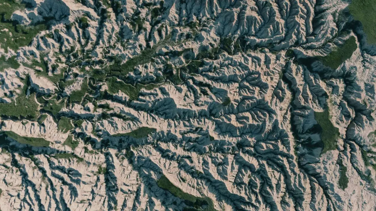
Hillshade creates a shaded relief from a surface raster by considering the illumination source angle and shadows. That makes it the quickest way to turn a flat grid of heights into something the eye reads as hills and valleys. The tool is listed in the Surface toolset overview.
Because the shading depends on an assumed light position, treat it as a picture rather than a measurement. Ridges that run in line with the light can look flat, so try a different illumination angle if a feature seems to vanish.
A common habit is to place a semi-transparent colour layer, such as slope or elevation, over the hillshade. You keep the sense of relief and still see the values underneath.
How viewsheds test visibility
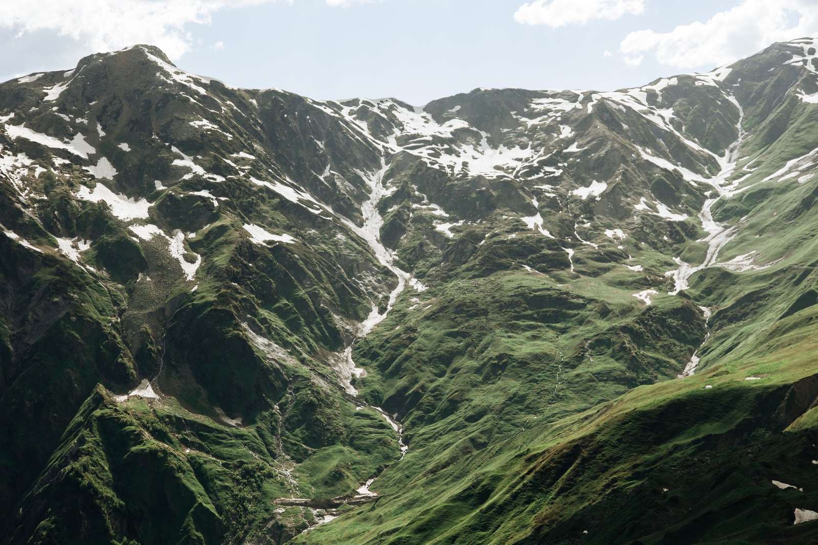
A viewshed determines the raster surface locations that are visible to a set of observer features. Place observers at a lookout, a mast or a planned structure, and the output marks which cells can be seen from them. The tool is described in the ArcGIS Pro Surface toolset overview.
Several related tools sit in the same toolset:
- Geodesic Viewshed does the same job using geodesic methods.
- Observer Points identifies which observer points are visible from each raster surface location.
- Visibility covers both directions, either finding locations visible to observers or identifying which observer points can be seen from each location.
The answer depends on the surface you supply. A coarse elevation model gives a rougher visibility result than a detailed one, so match the model to the scale of your question.
Other surface tools worth knowing
Slope, aspect, hillshade and viewshed are the core set, but the Surface toolset contains more. A few that extend the same workflow:
- Curvature calculates the curvature of a raster surface, optionally including profile and plan curvature.
- Contour creates a feature class of contours from a raster surface.
- Cut Fill calculates the volume change between two surfaces, which suits earthworks and similar comparisons.
- Geomorphon Landforms classifies calculated geomorphons into common landform types.
Each of these produces a new dataset you can inspect alone or combine with the layers above.
A simple workflow for your first analysis
You do not need every tool at once. This order keeps the work easy to check:
- Load the elevation raster and confirm its coordinate system and position.
- Run slope and look for obvious errors, such as stripes or spikes.
- Run aspect and compare the facing directions with what the shaded landscape suggests.
- Create a hillshade to use as a backdrop for the other layers.
- Add observer features and run a viewshed for the places you care about.
- Save each output with a clear name so you can trace it back to the input.
Treat every derived layer as an interpretation of the elevation model. If the input is poor, the slope, aspect and visibility results will carry the same flaws.
Frequently asked questions
Which layer should I make first?
Show answer
Check the elevation raster itself, then produce slope. A slope layer exposes data problems quickly, and it is the base for most later decisions.
Is a hillshade enough on its own?
Show answer
No. It is a visual aid that shows form, but it does not give you cell values you can classify or measure. Pair it with slope or aspect when you need numbers.
What does a viewshed need besides the elevation model?
Show answer
You also supply the spots where someone or something would stand, stored as observer features. The result is only as meaningful as those positions.
Can I do this outside ArcGIS Pro?
Show answer
The ideas are general, and the tool names above come from ArcGIS Pro documentation. Other GIS software offers similar functions, so the comparison of tools is worth reading before you commit.