
9 stories
Satellite Imagery
-
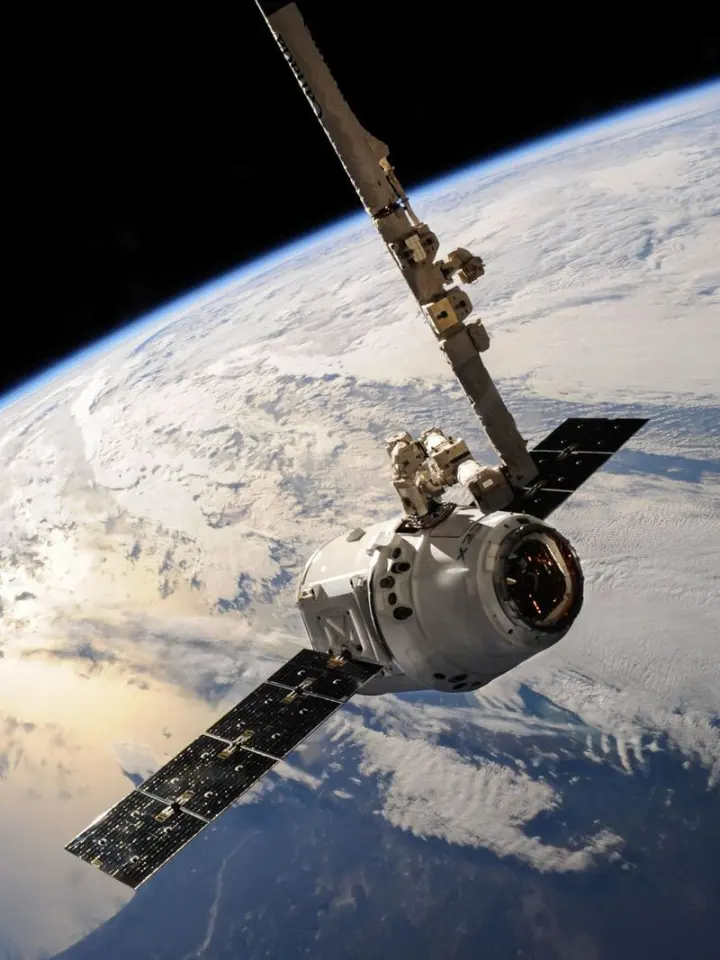
Satellite Imagery Explained: Sensors, Data and Practical Uses
-
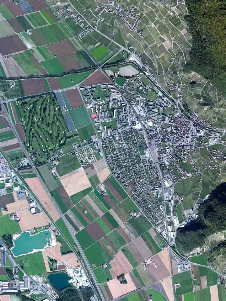
Sentinel and Landsat: Which Imagery Fits Your Analysis?
-
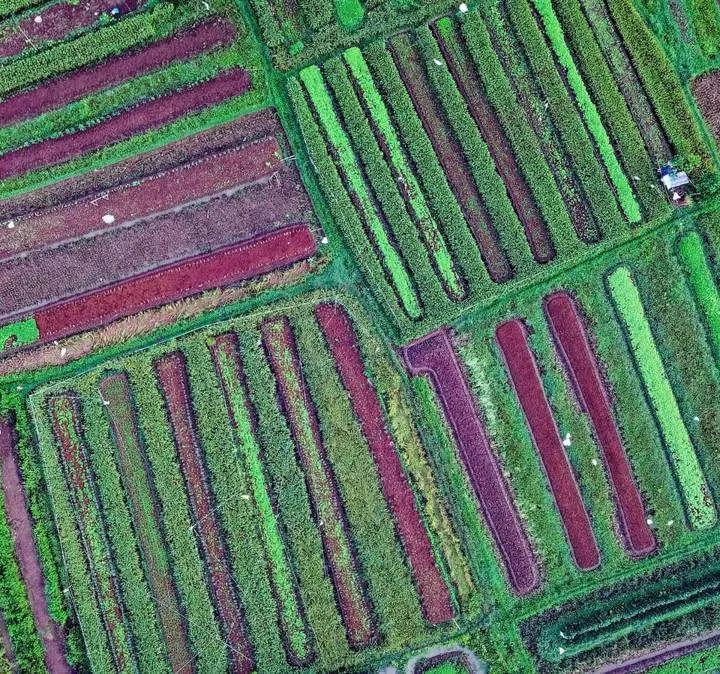
Reading True-Color and False-Color Satellite Composites
-
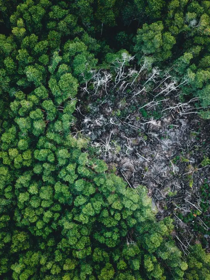
Comparing Satellite Images to Measure Changes Over Time
-
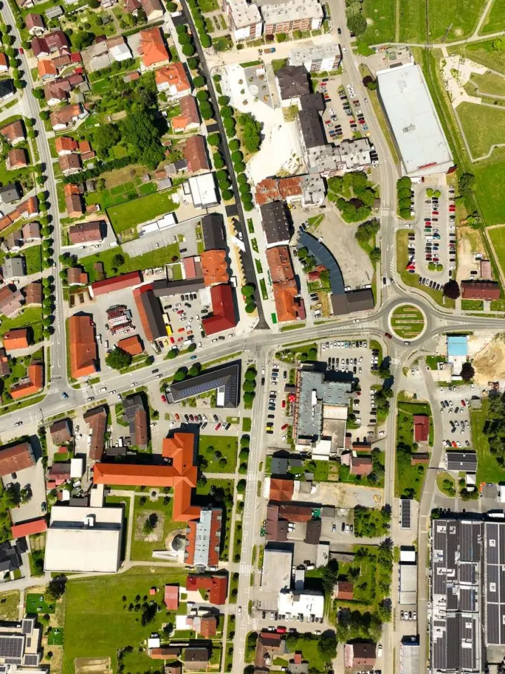
Understanding Spatial, Spectral, Temporal and Radiometric Resolution
-
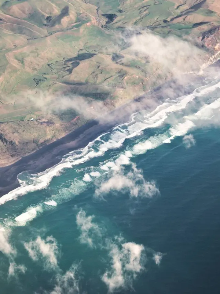
Radar and Optical Images: How Their Strengths Differ
-
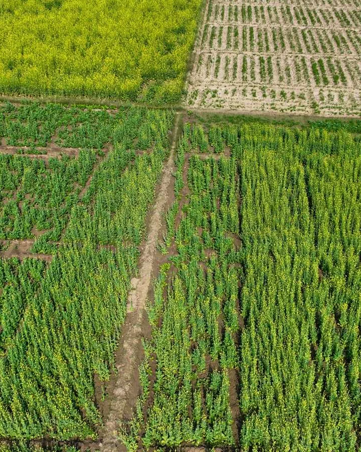
How NDVI Measures Vegetation and Where It Can Mislead
-
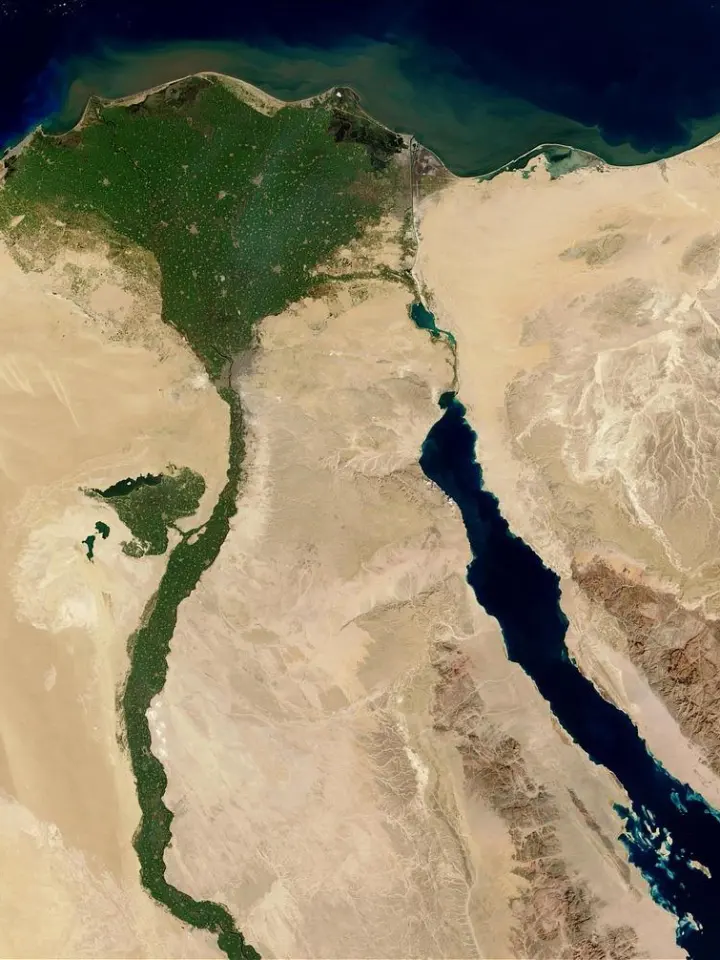
Recognizing Landforms, Land Use and Features from Space
-
Where to Download Free Satellite Images for Analysis