Unsure which scenes to download? Sentinel vs Landsat comes down to a trade-off: Sentinel gives you finer pixels and more frequent revisits, while Landsat adds thermal bands. Match the choice to the detail, timing and temperature data your analysis needs.
This guide sits inside our wider look at satellite imagery, where you can compare other data types and missions.
| Item | Value |
|---|---|
| Sentinel-2 swath width | 290 km |
| Sentinel-2 revisit frequency at the Equator | 5 days |
| Sentinel-2 spectral bands | 13 spectral bands (10 m, 20 m and 60 m) |
| Landsat 8-9 swath width | 185 km |
| Landsat 8-9 revisit frequency | 16 days |
| Landsat 8-9 multispectral resolution | 30 m |
These figures come from the Sentinel-2 page and a Landsat 8 and 9 news item from the Copernicus Data Space Ecosystem. Mission details can change, so check the source before you rely on them.
What each mission is built for
Sentinel-2 is a European mission with two polar-orbiting satellites sharing one sun-synchronous orbit. According to the Copernicus Data Space Ecosystem, it serves mainly land services, such as watching vegetation, soil and water cover, inland waterways and coastal areas.
Landsat 8 and 9 are maintained by the U.S. Geological Survey as part of the multi-decade Landsat Program. A news item dated January 12, 2026 says the Copernicus platform, which mostly focuses on Sentinel imagery, now offers them for viewing and quantitative analysis in Copernicus Browser.
That framing matters: the same source calls Landsat 8-9 data an important complement to Sentinel-2. Think of the two as partners with different strengths rather than rivals.
Spatial detail and spectral bands
Sentinel-2 samples 13 spectral bands: four bands at 10 m, six bands at 20 m and three bands at 60 m, per the Sentinel-2 mission page. The finest bands are the ones to reach for when you need to separate small parcels or narrow features.
Landsat 8 and 9 carry the Operational Land Imager, which has 7 bands at 30 m plus one panchromatic band at 15 m, as the Copernicus news item explains. The sharper panchromatic band is a single grey-scale layer, so it does not replace the colour bands.
Pixel size shapes what you can map and measure, and our guide to satellite image resolution explains the wider idea behind these numbers.
Revisit time, swath and coverage
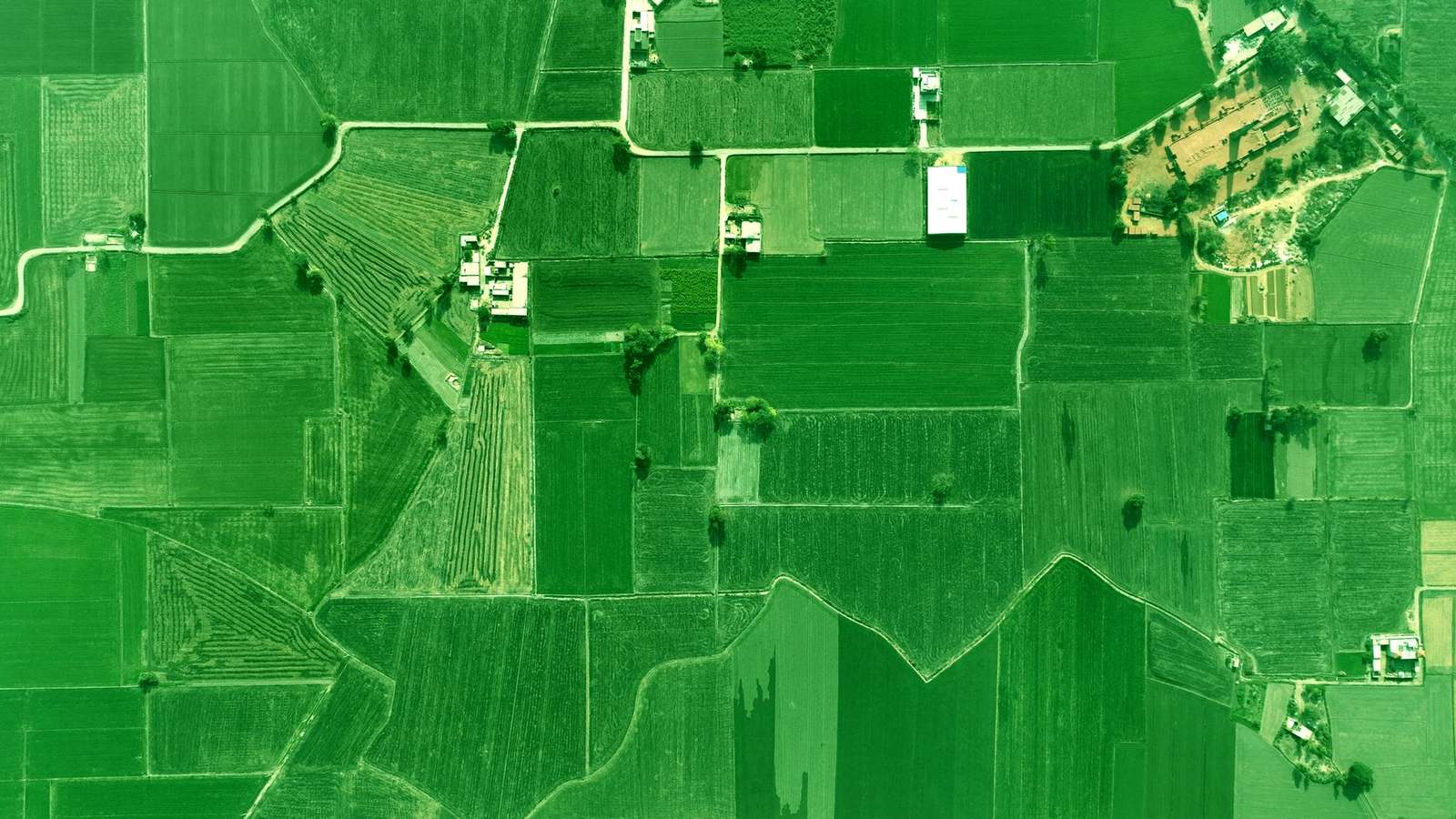
Sentinel-2 is designed to revisit the same spot every 5 days at the Equator and images a 290 km swath, according to the Sentinel-2 page. Landsat satellites have a swath of about 185 km and a 16 days revisit frequency, based on the Landsat news item.
In practice, those differences lead to a few trade-offs:
- Wider swath: fewer separate tiles to stitch together for a large region.
- More frequent revisits: more chances to catch a cloud-free view of a growing crop or a changing coastline.
- Slower revisits: fewer dates, so fast events can fall between acquisitions.
Clouds are the usual spoiler. The same news item says Landsat data give additional coverage over areas frequently obscured by clouds, and if cloud is your main obstacle, our comparison of SAR vs optical imagery shows a different route.
When does Landsat’s thermal data matter?
The Thermal Infrared Sensor on Landsat 8 and 9 provides two narrow thermal bands at 100 m resolution, according to the Copernicus announcement. Sentinel-2 is described as an optical, multispectral mission, so temperature work points you toward Landsat.
Landsat also crosses the equator at 10:00 local solar time, as the same page notes. A steady morning pass makes scenes from different dates easier to compare, because the sun angle and time of day stay similar.
Data access and processing levels
Anyone can use Sentinel data without paying, from the general public to scientific and commercial teams, as the Sentinel-2 page states. That open policy is a big reason Sentinel-2 appears in so many workflows.
Processing level matters just as much as access. The Level-2A product delivers atmospherically corrected surface reflectance derived from Level-1C products and follows the CEOS Analysis Ready Data specifications, per the same mission page.
The Landsat 8 and 9 archive in Copernicus Browser is Level 1, covering 2021 to the present, so it is not atmospherically corrected. As of the January 12, 2026 news item, scenes appear about one month after acquisition, and the team says it is working on shortening that delay.
How to choose for your analysis
Work through these steps before you commit to a dataset:
- Write down the smallest feature you must see, then pick the mission whose finest bands can resolve it.
- Decide how often you need a new view, and whether cloud gaps would break your time series.
- Check whether you need thermal data, which only Landsat offers of the two.
- Confirm the processing level, because surface reflectance and uncorrected scenes are not interchangeable.
You do not always have to pick one. The Copernicus team says that Corine Land Cover, probably the most important European application of Landsat data, is produced from visual interpretation of both Sentinel and Landsat images, according to the news item.
Frequently asked questions
Is Sentinel-2 or Landsat better for crop monitoring?
Show answer
Neither wins outright. The Sentinel-2 page lists agriculture among its supported applications, and the Landsat news item says Landsat data contribute substantially to agriculture and land monitoring worldwide.
Can I use Sentinel and Landsat together?
Show answer
Yes. Pairing them gives you more dates and a thermal option, and the Copernicus announcement positions Landsat 8-9 as a complement to Sentinel-2 rather than a substitute. Just keep their processing levels in mind when you combine scenes.
Can I download Landsat scenes straight from Copernicus Browser?
Show answer
Searching and viewing are open to all users, but remote download is limited to Copernicus Services and Collaborative Ground Segments users and is enabled on request, per the January 12, 2026 news item. Check the rules there before you plan a bulk workflow.
Is swath the same as image resolution?
Show answer
No. Swath is how wide a strip the satellite images, while resolution is the ground size of one pixel. A mission can be both wide and fine at once, as the Sentinel-2 mission description shows.