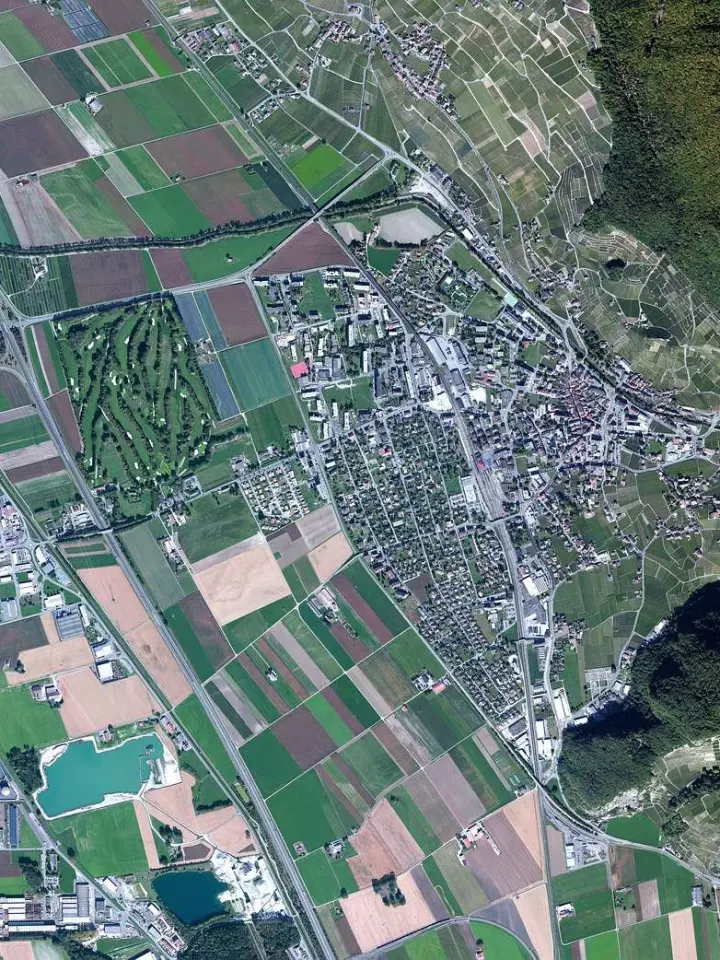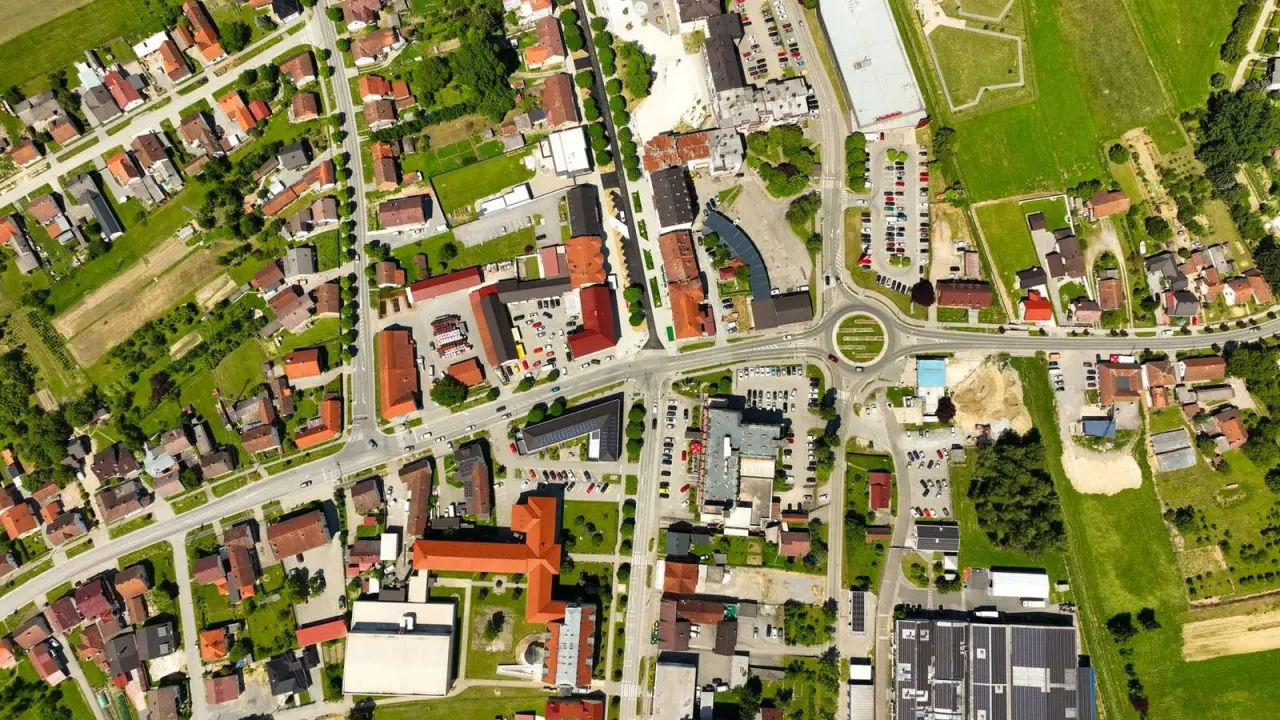
Confused why two pictures of the same place look so different? Satellite image resolution comes in four kinds: spatial (pixel size), spectral (bands), temporal (revisit time) and radiometric (brightness levels). Each one answers a different question.
This guide belongs to our wider collection on satellite imagery, and it explains each type of resolution with real sensor examples.
| Item | Value |
|---|---|
| Landsat 9 spatial resolution (multispectral and shortwave infrared) | 30 m |
| Landsat 9 spatial resolution (panchromatic) | 15 m |
| Landsat 9 spectral resolution | 11 bands |
| Landsat 9 temporal resolution | 16 days |
| Landsat 9 radiometric resolution | 14-bit |
| Landsat 8 radiometric resolution | 12-bit |
These figures come from NASA’s Landsat 9 and Landsat 8 mission pages. Mission specifications can change, so check the source before you rely on them.
The four kinds of resolution at a glance
Remote sensing scientists describe an image with four separate measures, and each is independent of the others. A sensor can be sharp but slow, or frequent but coarse, so resolution never means just one number.
- Spatial: the size of the ground patch that one pixel represents.
- Spectral: how many wavelength bands the sensor records and how narrow they are.
- Temporal: how often the same place is imaged.
- Radiometric: how many brightness levels the sensor can tell apart.
NASA’s Landsat mission pages list all four in a “Quick Facts” panel, which makes a handy template when you compare sensors.
Spatial resolution: how much detail a pixel holds
Spatial resolution is the ground size of one pixel, so a smaller number means a sharper image. NASA lists Landsat 9 at 30 m for its multispectral and shortwave infrared bands, 15 m for panchromatic and 100 m for thermal.
Older sensors were coarser. According to Natural Resources Canada, the Thematic Mapper records 30 m pixels for all but its thermal infrared band, which is 120 m, while the earlier MultiSpectral Scanner recorded approximately 60 x 80 metres per band.
The French SPOT satellites show a trade-off inside a single instrument. Natural Resources Canada describes a panchromatic mode at 10 m and a multispectral mode at 20 m, so you gain detail by giving up colour channels.
Merging sensors changes pixel size too. In the Harmonized Landsat Sentinel-2 product, the native 10 meter and 20 meter Sentinel-2 bands are resampled to match 30 meter Landsat data, so the combined product gives up Sentinel-2’s finer pixels in exchange for consistency.
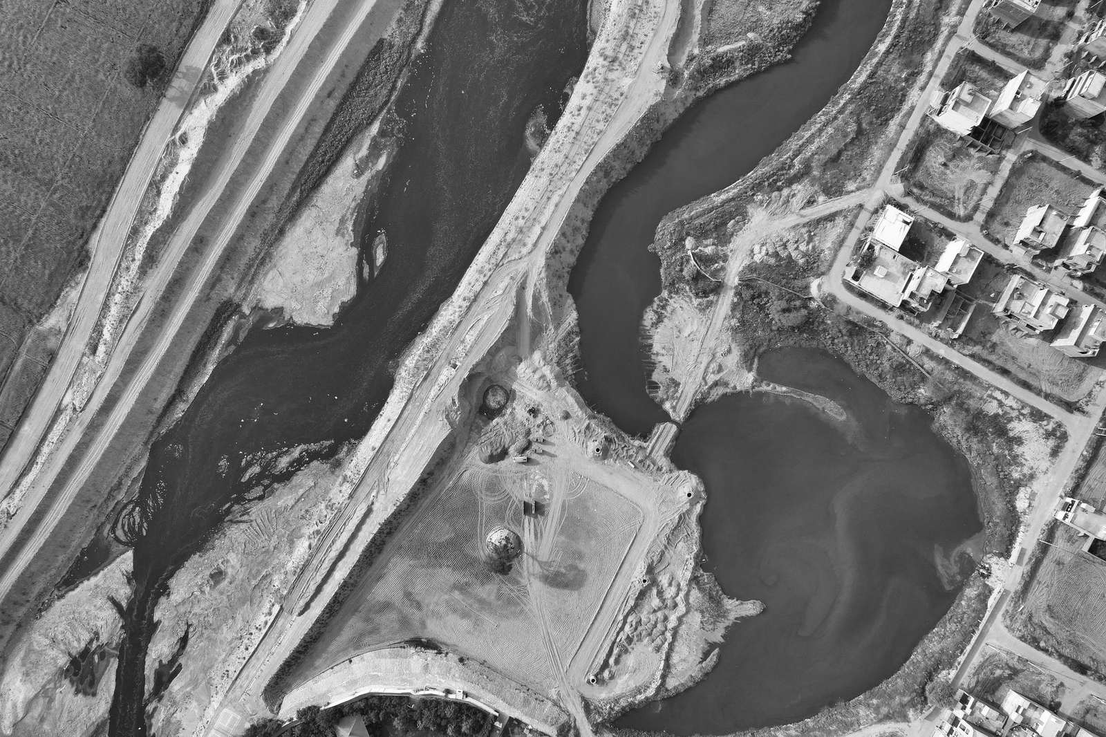
Spectral resolution: how many bands a sensor separates
Spectral resolution describes how many bands a sensor records and how finely it slices the spectrum. NASA lists 11 bands for Landsat 9, while Natural Resources Canada notes that the Thematic Mapper offered seven bands where the MultiSpectral Scanner offered four.
Natural Resources Canada also recalls that Landsat-1 launched in 1972 as an experiment in collecting multi-spectral data from an unmanned platform. More bands matter because different surfaces reflect different wavelengths:
- The blue band supports bathymetry and coastal mapping.
- The near-infrared band helps identify plant types, health and biomass content.
- The short-wave infrared band is sensitive to moisture in soil and vegetation.
- The thermal infrared band supports thermal mapping of urban areas and water.
Those band uses are taken from the Thematic Mapper table kept by Natural Resources Canada. Modern sensors follow the same logic with more bands.
Temporal resolution: how often you get a fresh image
Temporal resolution is the revisit time over one place. NASA gives 16 days for Landsat 9, and when Landsat 8 joined Landsat 7 in orbit, the frequency of observations doubled from every 16 days to every 8 days.
Combining satellites shortens the wait further. NASA’s harmonized Landsat and Sentinel-2 data arrives every 1.4 days on average at a 30 m pixel size, and an evaluation of 2022 data found a global median revisit interval of three days or fewer per tile in most regions.
Clouds and geometry matter as much as orbits. The same HLS page says equatorial areas typically see fewer observations because of persistent cloudiness, and SPOT can point its sensors up to 27° from nadir to improve revisit, according to Natural Resources Canada.
For a closer look at how two major programs compare on revisit and pixel size, read our Sentinel vs Landsat guide.
Radiometric resolution: how finely brightness is measured
Radiometric resolution is the number of brightness steps a sensor can record for each pixel, usually expressed in bits. More bits mean finer steps between the darkest and brightest values.
| Sensor | Radiometric resolution |
|---|---|
| MultiSpectral Scanner (MSS) | 6 bits (64 digital numbers) |
| Thematic Mapper (TM) | 8 bits (256 digital numbers) |
| Landsat 9 | 14-bit |
The sensor values come from Natural Resources Canada and the NASA Landsat 9 page; check them there before you rely on them.
NASA lists 12-bit for Landsat 8, so its successor records more brightness steps even though the two satellites share the same instrument names. The difference is easy to miss on screen, but it matters when software has to separate subtle brightness differences.
How do you choose the right resolution?
Start from the question you want the image to answer, then work through the four measures in order:
- Decide the smallest feature you must see, which sets the pixel size you need.
- List the surfaces you need to separate, which tells you which bands matter.
- Decide how quickly the scene changes, which sets the revisit time you need.
- Check whether your analysis depends on subtle brightness differences, which points to a higher bit depth.
Footprint is the hidden fifth consideration. In the sources used here, a Landsat 9 scene covers 185 km x 180 km, while the SPOT swath is 60 km at nadir, so sharper pixels tend to come with a narrower view.
When budget limits your choices, our overview of free satellite imagery shows where to start.
Frequently asked questions
Is higher spatial resolution always better?
Show answer
No. Finer pixels usually mean a smaller footprint, and the best choice depends on your task. The harmonized Landsat and Sentinel-2 product shows the idea by accepting a coarser pixel in return for much more frequent observations.
Can one satellite record different pixel sizes at once?
Show answer
Yes, because sensors often record each band at its own pixel size. The Landsat 9 panchromatic band is sharper than its thermal band, for example.
Why do clouds limit temporal resolution?
Show answer
A pass only counts when the ground is visible. In persistently cloudy regions the supply of usable images shrinks even though the orbit is unchanged, as the HLS data product page explains for equatorial areas.
What does bit depth tell you when comparing sensors?
Show answer
It counts the brightness steps recorded per pixel, so a 14-bit sensor separates finer tonal differences than a 12-bit sensor.