Trying to find free satellite imagery without hitting a paywall? Landsat data is free of charge, and you can download it through NASA and USGS tools such as Worldview, Earthdata Search and EarthExplorer.
This guide sits within the wider topic of satellite imagery and focuses on where to get files rather than on theory.
| Item | Value |
|---|---|
| Landsat archive start | 1972 |
| Length of continuous Landsat record | Over five decades |
| Cost of Landsat data and science products | Free of charge |
| ASTER L1B and L1T data in EarthExplorer | No cost to registered users |
| Example Landsat 9 image acquisition date | October 8, 2022 |
These figures come from NASA’s Landsat data overview and the ASTER page on EarthExplorer. They can change, so check the source before you rely on them.
Why Landsat is a sensible first stop
NASA describes the Landsat archive as the world’s longest continuous record of Earth observation data, spanning over five decades of systematic global coverage since 1972, according to its Landsat data overview. That length matters if you want to compare how the same place looked years apart.
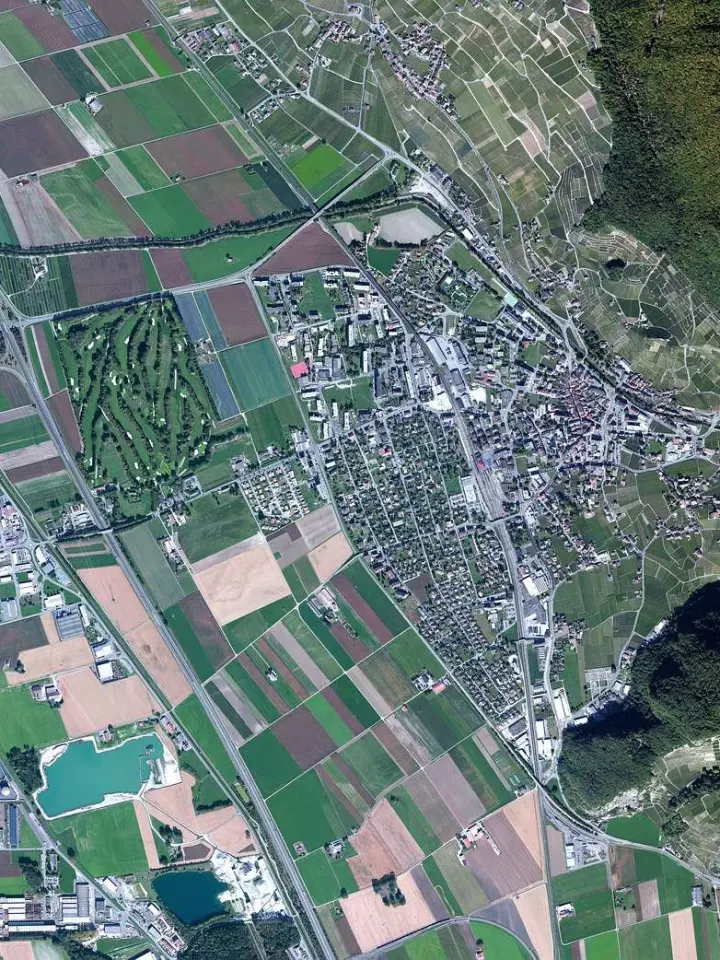
The same page says Landsat data and science products are publicly accessible and free of charge. As an example of what the archive holds, NASA shows a natural-color Landsat 9 image of the Adirondack mountains in New York, acquired on October 8, 2022.
Free does not mean ready for every job. Before you download anything, decide whether you only need to look at a place or whether you need full files you can measure, because that choice decides which portal suits you.
Portals for finding and downloading imagery
NASA’s Landsat page points to several map viewers, data portals and cloud-computing platforms. Each one does a slightly different job:
- NASA Worldview: browse, preview and download full-resolution global imagery, and build animated visualizations.
- NASA Earthdata Search: search, filter, view, compare and download satellite data by keyword, location and time.
- NASA AppEEARS: access, analyze and visualize geospatial data for specific places, with subsets by time period or data layer.
- USGS EarthExplorer: search, filter and download satellite imagery, aerial photography and cartographic products.
Treat these as different doors into related archives. Which one feels fastest depends on whether you start from a place, a date or a dataset name.
How a search works in EarthExplorer
NASA’s ASTER team documents the EarthExplorer workflow on its supplemental tools page. It describes ASTER products, but the same tab-by-tab logic is a useful model for any search:
- Register for a USGS account. The page says users may register through the “Register” link on the EarthExplorer main page, and that ASTER L1B and L1T data are available at no cost to registered users.
- Set your search criteria. You choose an area and a time range, and the area can be picked on the map or entered as an address, path/row, feature or coordinates.
- Pick your datasets. On that page, ASTER datasets sit under “NASA LPDAAC Collections.”
- Add extra criteria. For ASTER L1B data you may filter by cloud cover, day/night collection and instrument mode.
- Review the results. You can overlay scene footprints, browse images on the map, view metadata and select scenes for download.
The page describes an older interface, so menu names and layouts may differ when you open the live site. Follow the logic, not the exact labels.
A simple workflow that saves time
Start with a quick visual check in Worldview, because it lets you preview global imagery and confirm that the place and date look right. Only then move to a tool built for downloads.
If you need the original scenes, EarthExplorer or Earthdata Search will let you filter and pull files. If you only care about one study site, AppEEARS is the better fit because it works with a chosen location and can slice data by date range or layer, as NASA’s data overview explains.
Keep a short log as you go. Note the portal, the dataset, the search area and the scene identifiers, so you can repeat the search later or explain exactly where your data came from.
Checks to make before you analyze a download
A scene that looks fine in a preview can still be a poor match for your question. Run through these checks first:
- Open the metadata and confirm the acquisition date and area. EarthExplorer lets you view metadata before you select a scene.
- Use the cloud cover filter where the portal offers it, then still look at the preview yourself.
- Check pixel size against your task. Our guide to satellite image resolution explains why small features may not show up in coarse data.
- Record the dataset name and processing level, such as the L1B and L1T labels the ASTER page uses, so your results stay traceable.
Once a scene is open and you are ready to read it, our walkthrough on how to interpret satellite images covers what colors, textures and patterns can tell you.
Frequently asked questions
Is Landsat imagery really free to download?
Show answer
Yes. NASA’s Landsat overview says anyone can access Landsat products without paying, and it lists the portals that serve them.
Do I need an account to use EarthExplorer?
Show answer
For the ASTER downloads described on the EarthExplorer page, yes: the no-cost access applies to registered users, and sign-up is through the Register link. Rules for other datasets may differ, so check the portal itself.
Can I avoid cloudy scenes?
Show answer
You can narrow results with extra criteria. The ASTER page gives cloud cover as one example of a filter, alongside day/night collection and instrument mode.
Which portal should I use for one small study area?
Show answer
AppEEARS is designed for pulling data for a chosen location, and NASA says it can cut results by time period or data layer. Its description appears in the Landsat data overview.