
10 stories
Mapping
-

How Geographic Information Systems Connect Data to Places
-
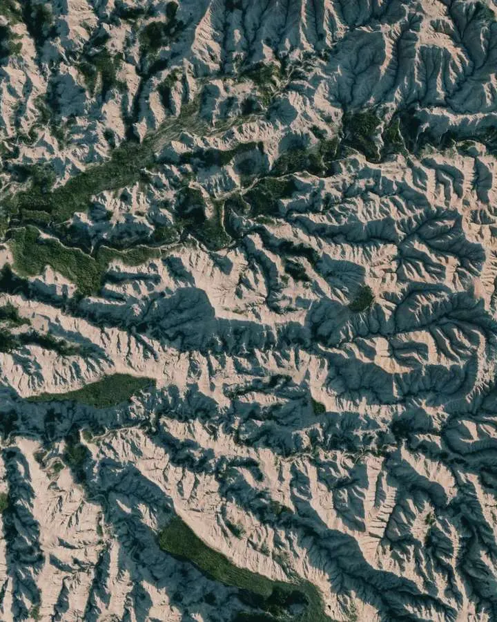
Working with Slope, Aspect, Hillshade and Viewsheds
-
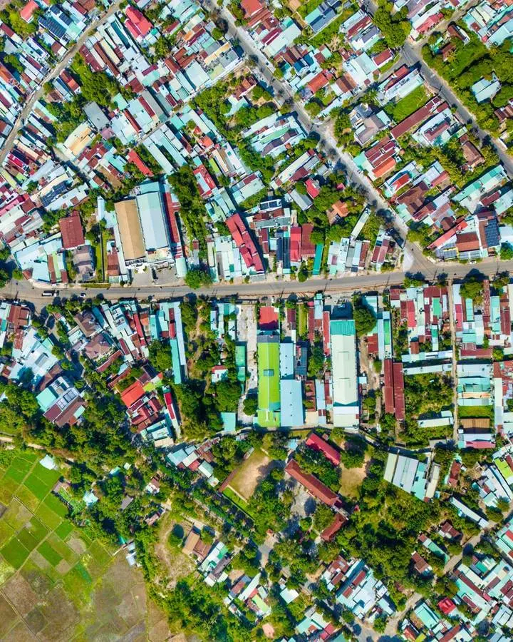
Raster and Vector Data: Choosing the Right Spatial Model
-
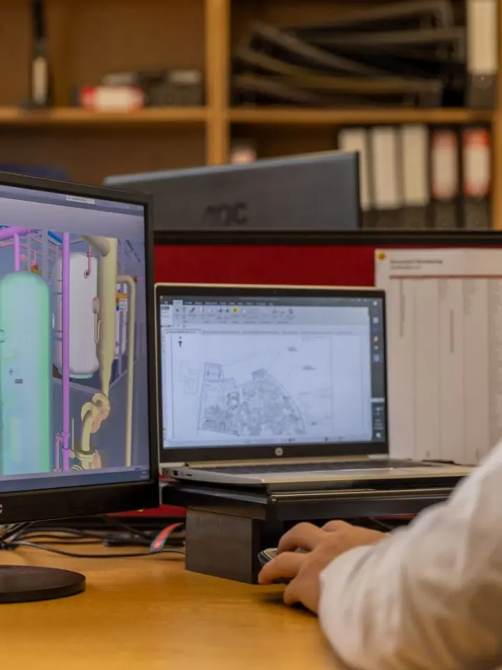
QGIS and ArcGIS Compared for Learning and Mapping Workflows
-

Why Map Layers Do Not Line Up and How to Diagnose the Cause
-
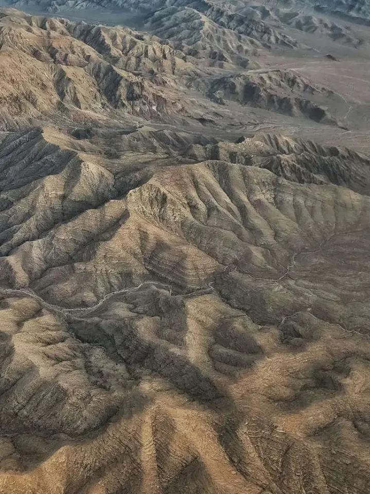
Geospatial Terrain Visualization: Data, Methods and Interpretation
-

Coordinate Reference Systems: Datums, Projections and Units
-

Elevation Models Compared: Bare Ground, Surfaces and Terrain
-
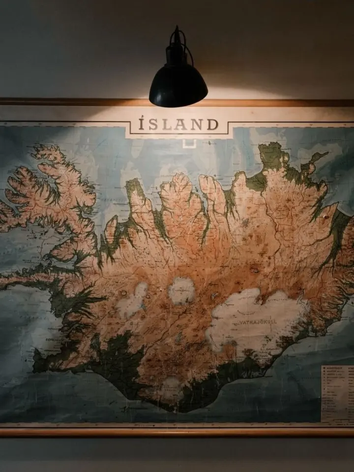
How to Align Scanned Maps with Real-World Coordinates
-

Where to Find Free GIS Data and Check Its Quality