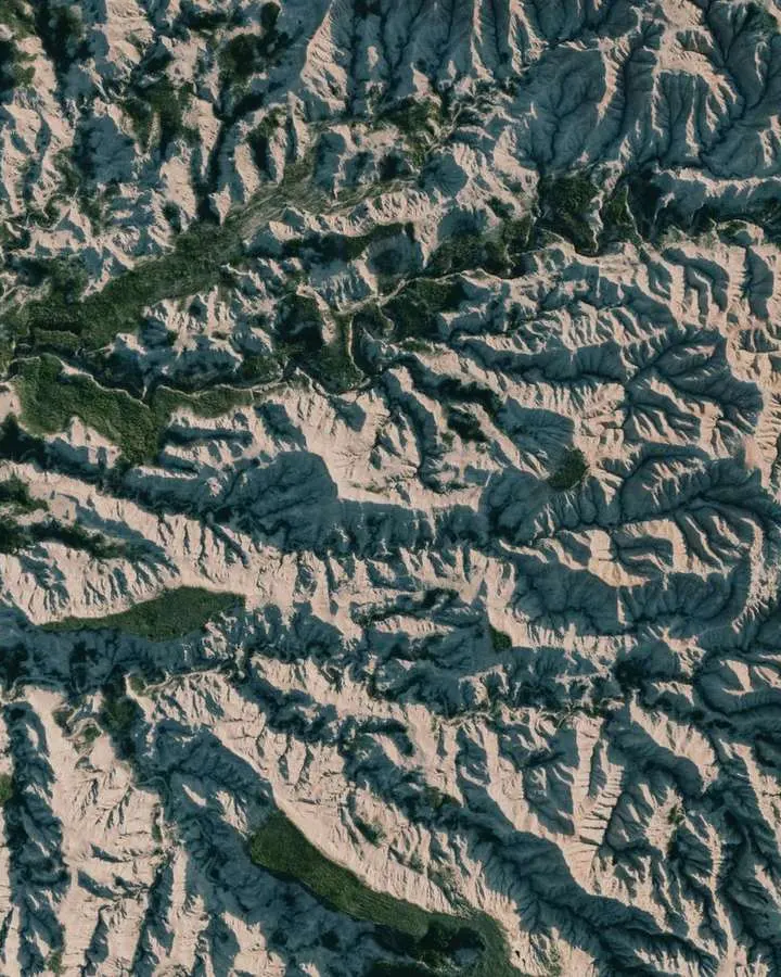
Layers that refuse to line up, or heights that look wrong, usually trace back to mismatched coordinate reference systems. Check three things before you combine data: the datum, the projection and the units.
This guide is part of the wider topic of geospatial terrain visualization, where every layer has to share one frame of reference.
| Item | Value |
|---|---|
| Default unit for projected coordinates in PROJ | meter |
| PROJ factor for converting US feet to meters | 0.304800609601219 |
| Default longitude wrapping range in PROJ | -180 to 180 |
| Official US geometric datum, per the NGS page of December 2023 | NAD 83 (2011/PA11/MA11) epoch 2010.00 |
| Official US vertical datum, per the NGS page of December 2023 | NAVD 88 |
These figures come from the PROJ cartographic projection documentation and the National Geodetic Survey datums page. They can change, so check the source before you rely on them.
What a coordinate reference system actually describes
A coordinate reference system turns a pair or triple of numbers into a position on the real Earth. The OGC abstract specification on referencing by coordinates is consistent with the third edition (2018) of ISO 19111, and it states that geographic information is inherently four-dimensional and includes time. You can read it at the OGC document page.
The same document says spatial references fall into two categories: those using coordinates and those based on geographic identifiers. Everything below concerns the first category.
In practice, a raw coordinate value means nothing until you know:
- which datum or reference frame anchors it;
- whether a projection flattened the surface, and with which parameters;
- which units and axis order the values use.
Datums and reference frames
The National Geodetic Survey describes a geodetic datum, or reference frame, as an abstract coordinate system with a reference surface (such as sea level) that provides known locations to begin surveys and create maps. The same NGS datums page says NGS defines the official geodetic datums for all federal mapping activities in the U.S. and its territories.
As of that page’s last update in December 2023, two datums are listed as current:
- NAD 83 (2011/PA11/MA11) epoch 2010.00, a geometric datum that measures positions relative to an ellipsoid model of the Earth (latitude, longitude and ellipsoid height);
- NAVD 88, a vertical datum that measures land elevations and water depths.
The same December 2023 page adds that NGS will be defining “new datums” to replace these. Treat any dataset tagged with an older or newer datum as a separate frame until you have confirmed the transformation.
Global frames you will meet
The NGS page also lists international frames, and the list below keeps its wording close to that source:
- ITRF, the International Terrestrial Reference Frame, is the current global standard reference frame as of the December 2023 page;
- WGS 84 is defined by the U.S. Department of Defense and is commonly used within civilian GPS software;
- GRS 80 is a geodetic reference system made of a global reference ellipsoid and a gravity field model, and it is the basis for NAD 83 and related datums.
How projections and their parameters shape coordinates
The foundation of PROJ is its large number of projections, and its documentation lists generic parameters that apply to most coordinate system definitions. These include the latitude of origin, the central meridian, a scaling factor, the ellipsoid axes, and a false easting and northing. See the PROJ projection reference for the full table.

By default PROJ wraps output longitudes in the range -180 to 180, as the PROJ documentation explains. If you need a different longitude wrapping convention, a dedicated option takes a centre longitude, so a dataset that straddles the antimeridian can stay continuous.
A prime meridian can also be declared. That declaration gives the longitude offset between the prime meridian of the coordinate system and Greenwich, and the cs2cs utility honours it while the proj utility ignores it.
Projection choice does not depend on file format. Whether you work with raster vs vector data, each layer still needs a declared coordinate reference system before it can be overlaid.
Units, false origins and axis order
The default unit for projected coordinates in PROJ is the meter. A few special projections deviate, most notably the latlong pseudo-projection that returns degrees, according to the PROJ units section.
For feet, the same page gives 0.304800609601219 as the meters value for US feet. Because US survey feet and international feet are separate entries in PROJ’s unit list, a wrong choice quietly shifts every coordinate.
Several rules are easy to miss:
- False easting and northing are always expressed in meters, even if the coordinate system uses other units.
- Some systems, such as UTM, carry implicit false easting and northing values.
- Vertical units, if unspecified, default to the same as the horizontal coordinates.
Axis order is the other classic trap. The default orientation is “easting, northing, up”, and you can flip axes with the axis switch, for example neu for northing, easting, up, which suits latitude/longitude geographic coordinates.
Converting between systems without breaking heights
A conversion changes how the same position is written, while a transformation moves between datums or reference frames. The NGS NCAT documentation says its Coordinate Conversion and Transformation Tool allows users to convert between coordinate systems and transform between reference frames and datums in a single step.
NADCON and VERTCON provide local error estimates for each transformation, and they do not support areas outside the supported boundaries. As of the NCAT page last modified in January 2020, NCAT does not convert between orthometric and ellipsoidal heights, so only orthometric-to-orthometric and ellipsoidal-to-ellipsoidal height transformations are possible there.
That height caveat matters for surface models too. Elevation layers described in DEM vs DSM vs DTM sit on a vertical datum like any other height, so check which one before you subtract or mosaic them.
A safe workflow looks like this:
- Read the datum, projection, units and axis order from each layer’s metadata.
- Pick one target system for the whole project.
- Transform datums first, then reproject, then convert units.
- Overlay a known landmark to confirm the layers agree.
PROJ has its own unit conversion operation for this last step. It notes that many North American systems are defined with coordinates in feet, and that GNSS timestamps in GPS weeks may need converting to decimal years before a Helmert transformation.
Frequently asked questions
What is the difference between a datum and a projection?
Show answer
A datum fixes where the coordinates start on or around the Earth. A projection is the mathematical step that places those positions on a flat plane, using parameters such as the central meridian and false easting.
Why do my longitudes run from 0 to 360 instead of negative values?
Show answer
Some software shifts the wrapping range. In PROJ, the lon_wrap option with a centre of 180 produces longitudes in the range 0 to 360, as described in the PROJ reference.
Which unit should I assume when a file does not say?
Show answer
Do not assume; confirm it from the metadata. If the file came from PROJ-style definitions with no unit given, the meter is the default for projected coordinates, but a feet-based system will still read as plausible numbers.
Can I use NCAT to switch a height from orthometric to ellipsoidal?
Show answer
Not according to its documentation, last modified January 2020: the tool accepts both height types as input but only transforms like to like. Read the NCAT page again before you plan a workflow around it, since the tool may have changed since then.