
25 stories
-
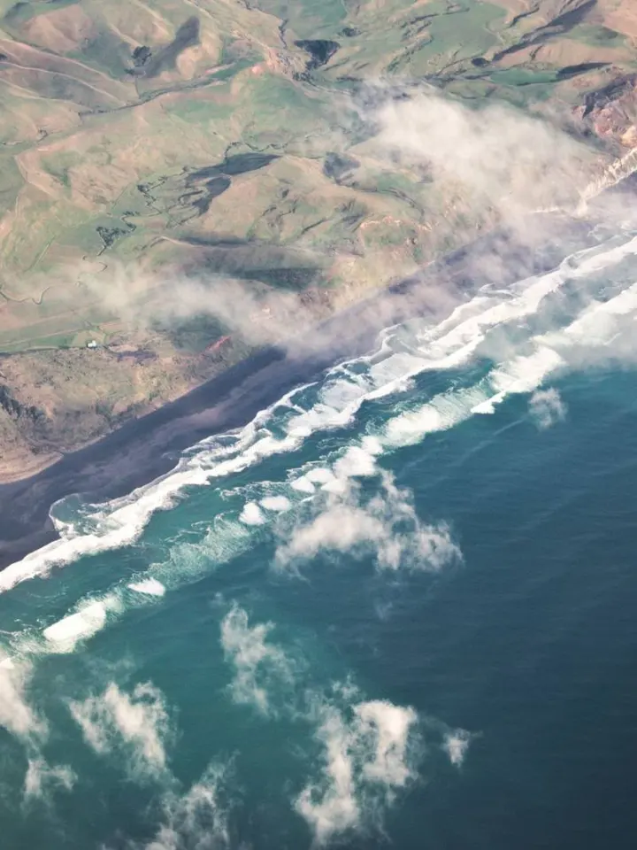
Radar and Optical Images: How Their Strengths Differ
-
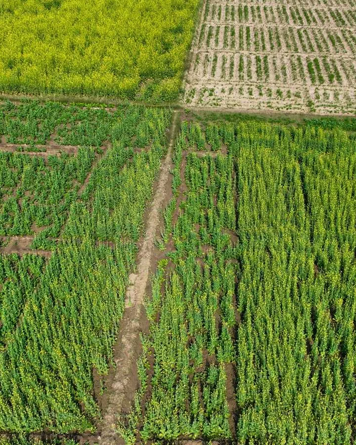
How NDVI Measures Vegetation and Where It Can Mislead
-
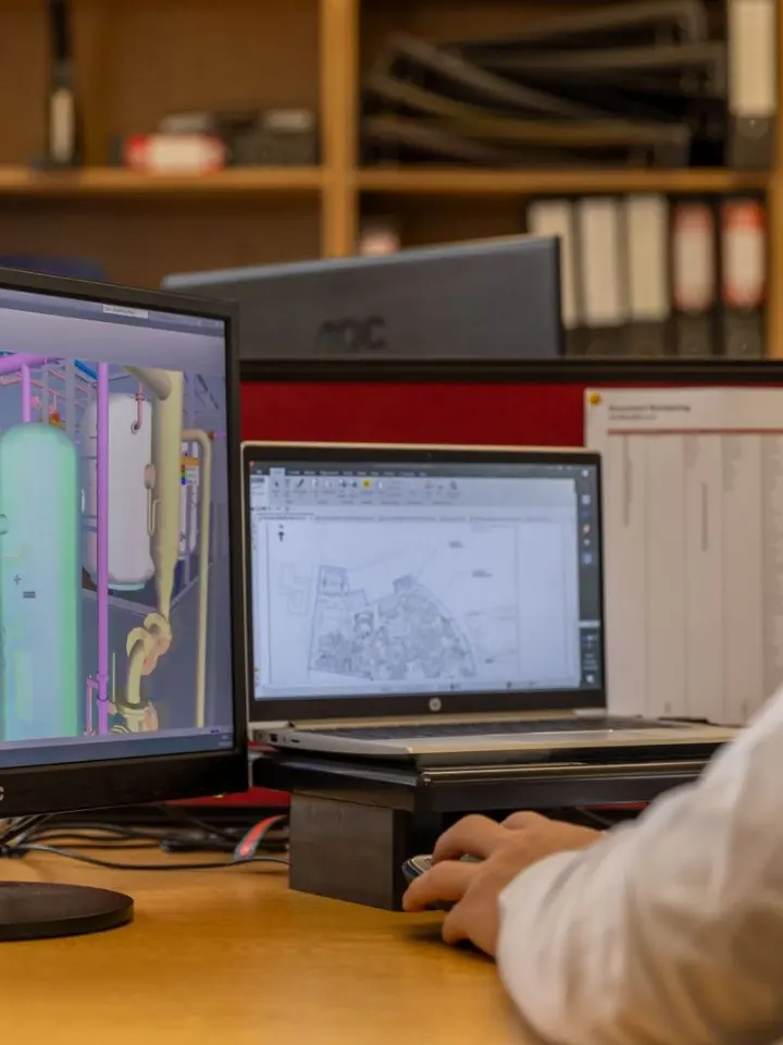
QGIS and ArcGIS Compared for Learning and Mapping Workflows
-
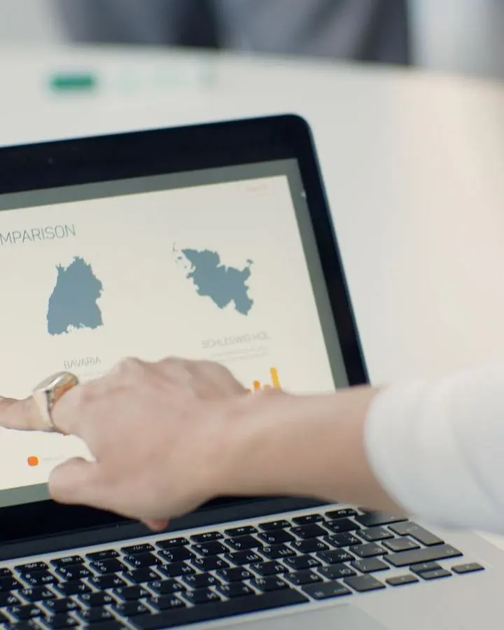
How Map Design Distorts Data and How to Spot the Problems
-
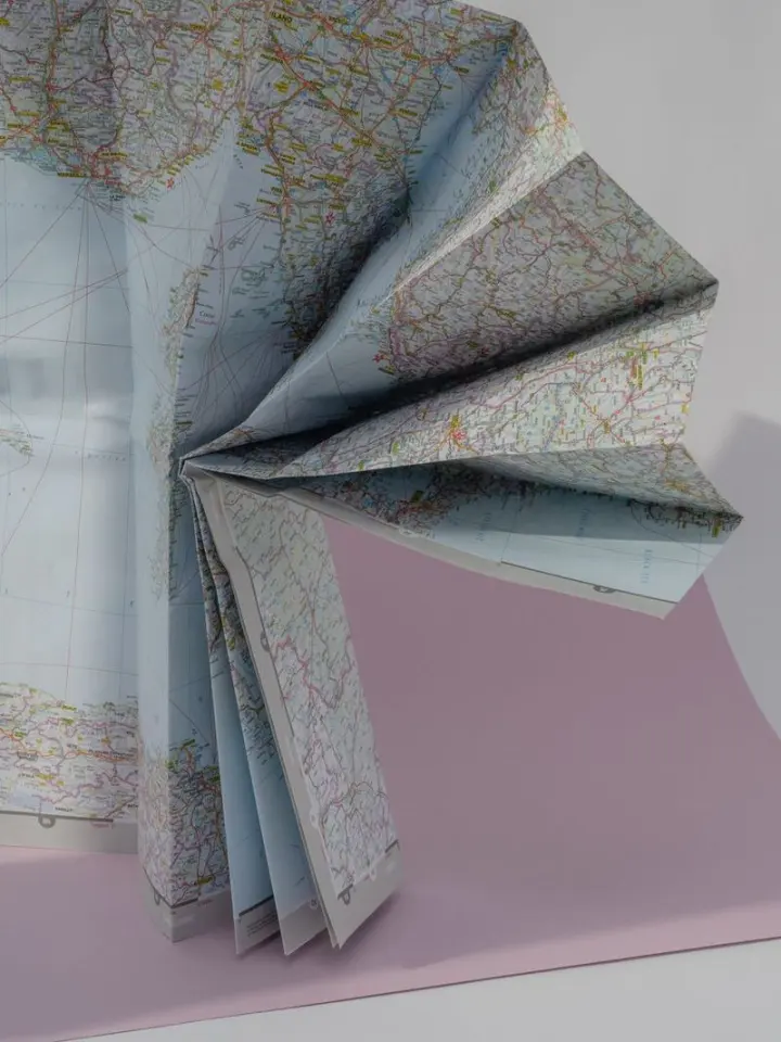
Why Map Layers Do Not Line Up and How to Diagnose the Cause
-
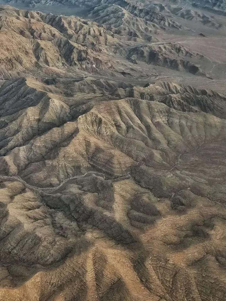
Geospatial Terrain Visualization: Data, Methods and Interpretation
-
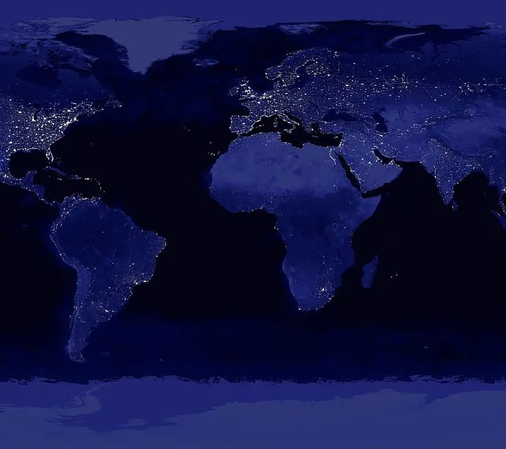
Build a Choropleth Map with Appropriate Rates and Class Breaks
-
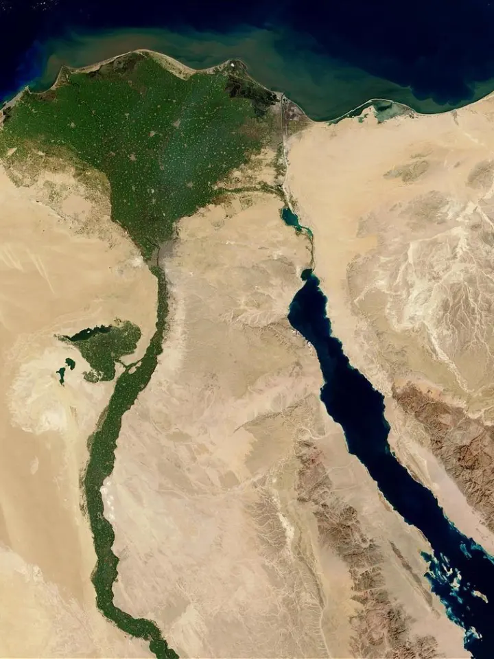
Recognizing Landforms, Land Use and Features from Space
-
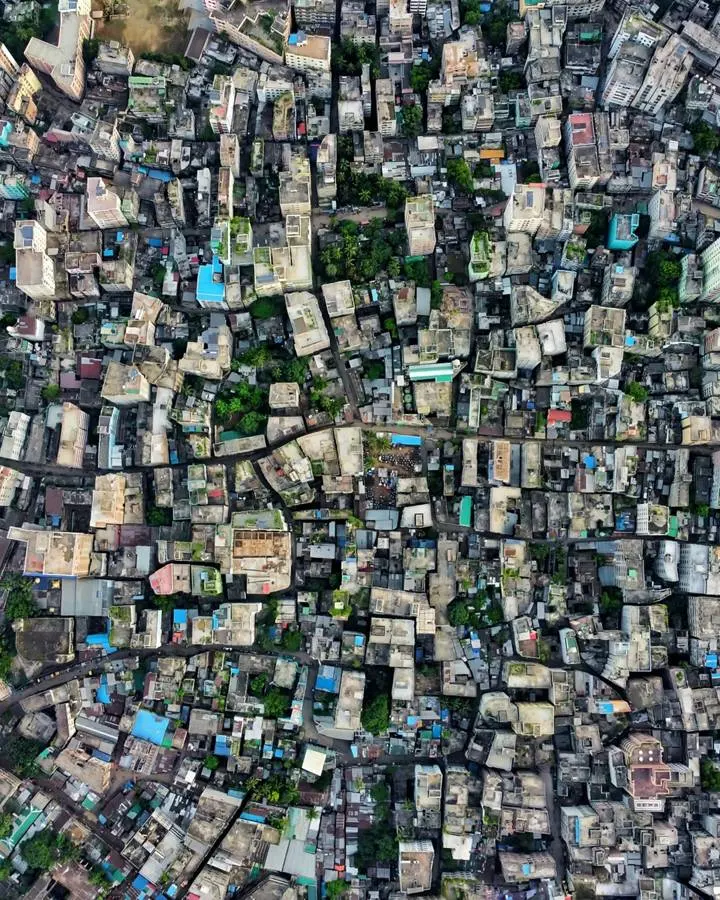
Heat Maps and Choropleths: Density and Regional Values Compared
-
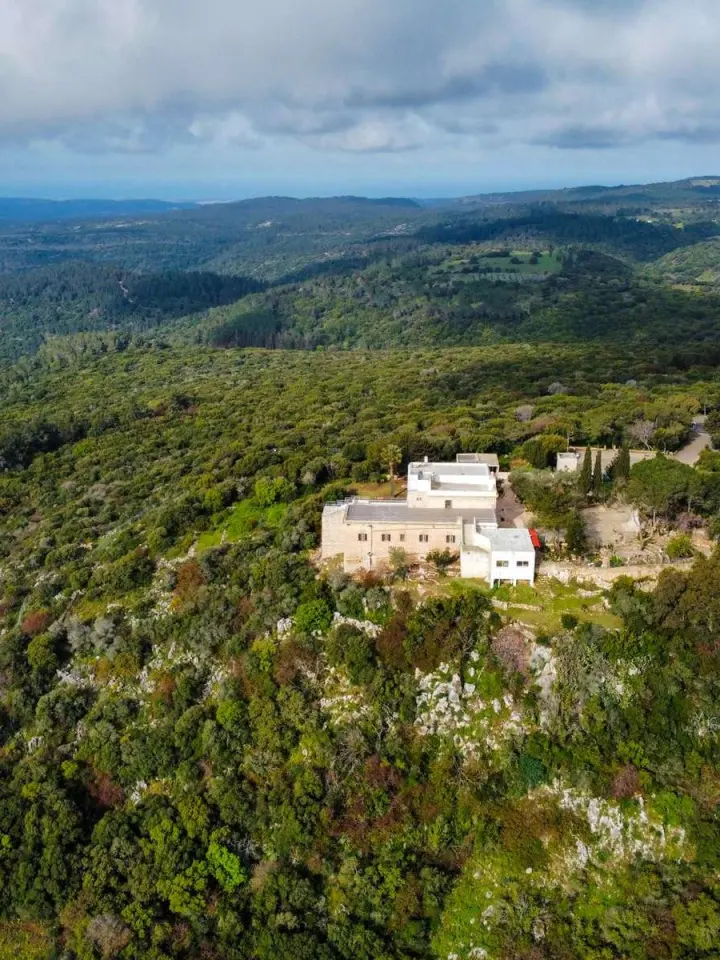
Elevation Models Compared: Bare Ground, Surfaces and Terrain